
See the news
in context.
Explore the places behind the headlines. NewsMap brings geographically located reporting and official hazard data together on an interactive globe, so you can see what's happening and where.
Start exploring in your browser. No account required.
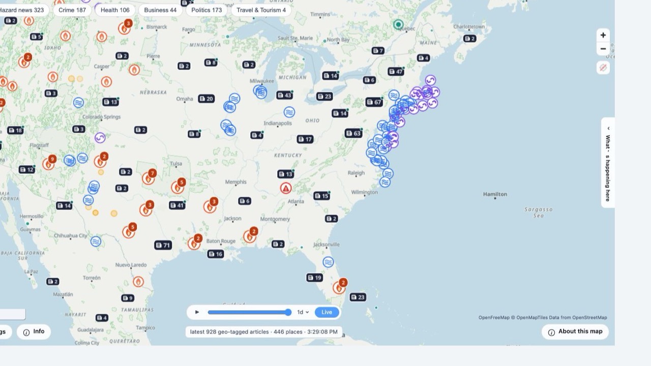
Map: OpenFreeMap · © OpenMapTiles · Data from OpenStreetMap.
A wider view of
what's happening.
Start with a place, follow a topic, or look back through recent events. Explore the connections between reporting and geography.
News, mapped to places
Search for a place or move around the globe. Readable news markers show how many articles are associated with a place. Open a marker or browse the story feed to explore the reporting.
Follow the topics you care about
Filter by hazard news, crime, health, business, politics, or travel and tourism. Category counts change as you pan and zoom.
See events over time
Choose a time window, scrub through it, or play a replay to explore how recent news and hazards appeared across the map.
Official hazards alongside the news
Add earthquakes from USGS, weather alerts from NWS, and fires, storms, and other natural events from NASA EONET.
Understand a story's location
Distinguish events that happened in a place from stories about it or reports that merely mention it. Use place information to explore the setting.
Share your view
Send a link that preserves your map location, filters, and layers so someone else can explore the same view.
News comes from GDELT; hazard layers use USGS, NWS, and NASA EONET. See full sources and credits →
What's happening
in your corner of the world?
Open the map, search for a place, and explore the stories around it. No download or account needed to get started.